Alerts

-
3 minutes, 12 seconds
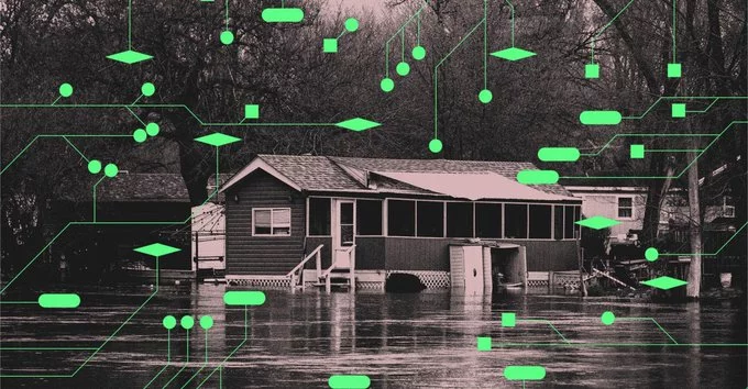
Floods are among the most destructive natural hazards, yet giving communities enough warning to act remains difficult. Meteorologists need better tools to predict deadly floods sooner, because earlier warnings save lives and reduce damage. The core problem is speed and precision: forecasting where intense rainfall will fall, how much will accumulate, and how quickly water will rise requires analysing vast and rapidly changing data.
Traditional forecasting methods can struggle to keep pace with fast-developing storms, especially in regions with sparse ground observations. When a flood strikes with little notice, evacuation becomes dangerous or impossible, and critical infrastructure is left exposed.
Closing this gap matters. Every additional hour of advance warning gives emergency services time to move people, protect property, and allocate resources where they are needed most. Improving prediction is therefore not just a scientific goal but a practical, life-saving one — and it is the reason researchers continue to pursue new sources of data and new analytical techniques.
Satellite data provides critical observations that can be used to monitor conditions leading to floods. Because floods are among the deadliest natural disasters, having a detailed, up-to-date picture of the ground and atmosphere is essential for prediction.
Satellites capture a range of measurements that reveal how much water is present across a region and how that water is moving. These observations help scientists track the conditions that precede a flood event, rather than waiting for flooding to begin.
Key inputs drawn from satellite observations include:
By combining these measurements, researchers gain a continuous view of the water cycle over large areas, including places where ground-based instruments are sparse. That continuous coverage is what makes satellite data so valuable for monitoring flood risk.
Machine learning is transforming how satellite data is turned into flood forecasts, making predictions faster and more accurate. By training algorithms on vast archives of satellite observations, researchers can teach computers to recognise the patterns that precede flooding and to estimate risk in near real time.
One promising approach is described in a 2024 study led by researchers at the University of Bristol. The team developed a machine learning model that uses satellite data to predict river flooding. Crucially, the model was trained to forecast extreme events, not just typical conditions, helping it perform better when it matters most.
According to the study's authors, the system could give communities earlier warnings and more time to prepare. That extra lead time is vital: floods are among the deadliest natural hazards, and faster, more reliable forecasts can save lives and reduce damage.
By combining the global reach of satellites with the pattern-finding power of machine learning, scientists are moving closer to flood warnings that are both timely and trustworthy.
Satellite data and machine learning are converging into practical tools that help meteorologists issue flood warnings earlier. Instead of relying only on ground gauges, forecasters can now draw on frequent satellite observations of rainfall, soil moisture, and river extent, then feed those inputs into models that learn patterns from past events.
This combination matters because deadly floods often develop faster than traditional monitoring can capture. By pairing broad satellite coverage with algorithms trained to recognise the conditions that precede severe flooding, meteorologists gain precious lead time to alert communities in harm's way.
Several developments are driving this shift:
The result is a forecasting workflow that watches more of the planet, more often, and turns that data into earlier, more targeted warnings.










Comment