Alerts

-
2 minutes, 6 seconds
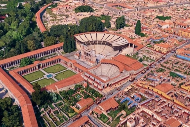
Google has shut down a Google Earth feature that let people alter satellite images with AI prompts. The tool, launched just on Thursday, allowed users to type text commands and edit real-world imagery. It was a bad idea because it made creating deepfakes of real places incredibly easy. Within a day, users were generating false images, such as adding refugees near the Mexican border.
The feature was meant to let users reimagine locations with AI. But it quickly became a tool for misinformation. Google responded by pulling the feature, admitting it didn't have proper safeguards.
Google Earth introduced an experimental AI feature on July 31, 2026. Users could type prompts like “add a fleet of ships” or “make this area green” and the AI would edit the satellite image. The results looked realistic, which was the problem.
Digital Digging’s Henk van Ess tested the tool and deliberately generated harmful content. He added images of refugees at the U.S.-Mexico border, a politically charged topic. His example showed how easily the tool could create fake evidence of real-world events.
Google said it shut down the feature after seeing the potential for misuse. The company plans to update its safety measures before bringing back any similar tool. This is a good step, but it raises questions: should AI image editing be available to everyone?
AI tools are powerful, but they need careful checks. Companies must test their features before launching them. In this case, a quick rollout turned into a quick shutdown. For users, it’s a reminder that seeing isn’t always believing—especially with AI in the picture.
If you want to stay updated on this story, search for terms like “AI deepfake”, “Google Earth AI”, “satellite image editing”, “text prompt image generator”, and “responsible AI use”. These topics are shaping how we interact with digital content.










Comment